For most users, the most popular navigation applications are those from Google, but there are also those who prefer the native Maps built into iOS devices, whether they prefer more accurate voice navigation, a clearer interface for them, or the perfect application on the Apple Watch. Today we will show you several functions that will certainly make everyday use more pleasant.
It could be interest you
Change view
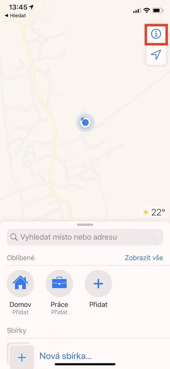
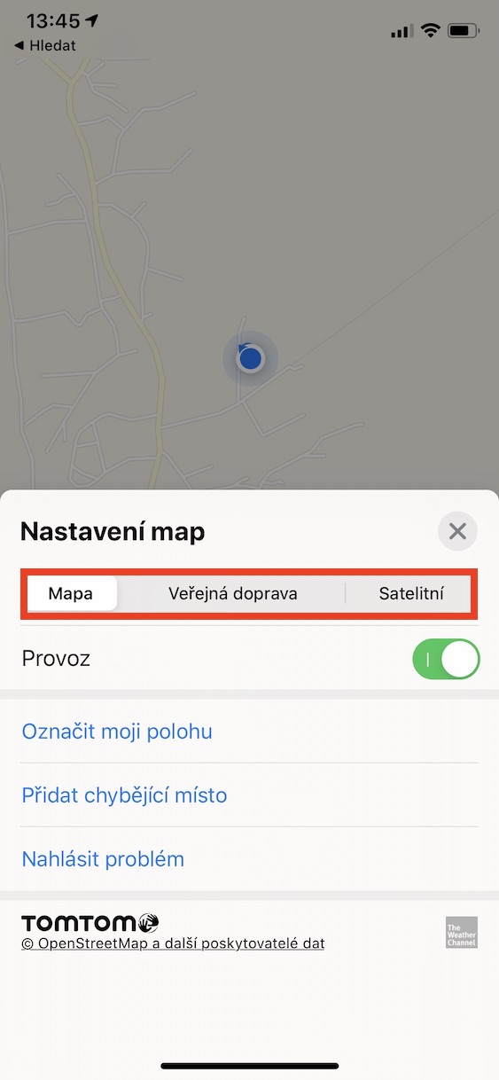
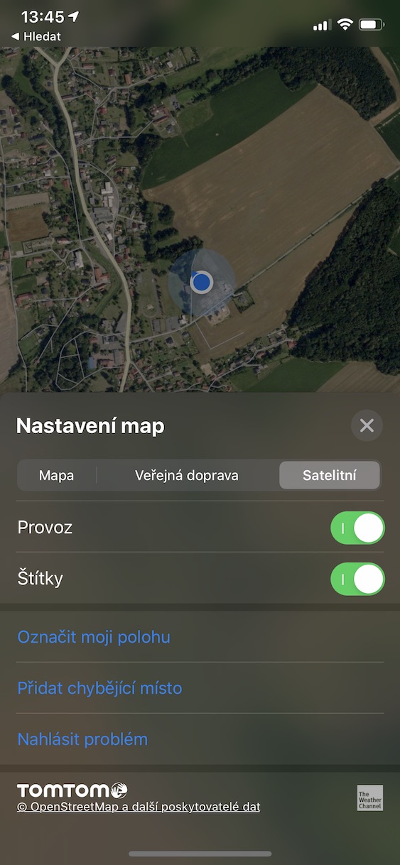
If you don't like the view you have set in Maps, it is not difficult to change it. Open the application Maps and move to Settings. At the top you can choose from three options to use: Map, Public Transport and Satellite. However, there are significant restrictions on public transport in the Czech Republic - Maps only supports it in and around Prague.
Adding addresses to favorites
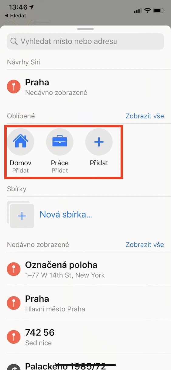
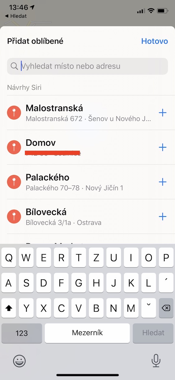
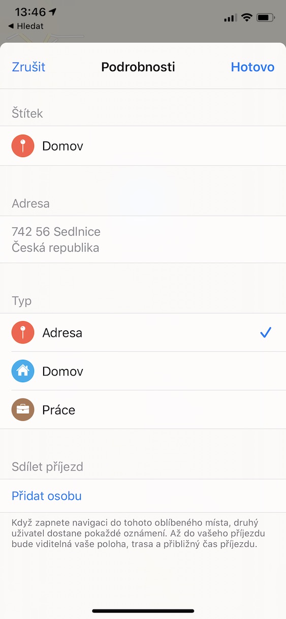
If you often go to certain places, you may find it useful to add them to your favorites. In the native Maps app at the top, tap Add and place look for. You can easily add a label to it. When you're done, tap on All done. If you want, you can bookmark home and work in addition to your favorite places.
Setting the preferred means of transport
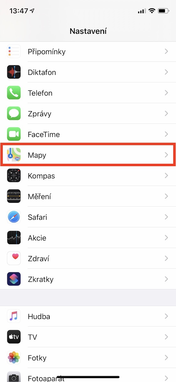
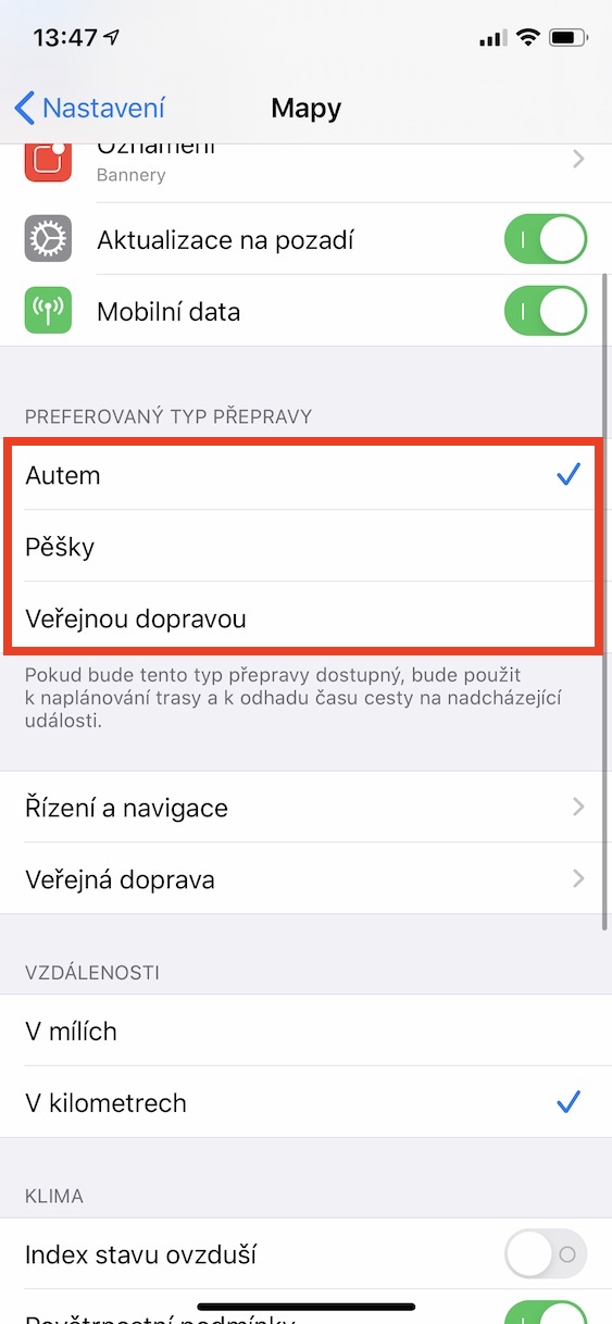
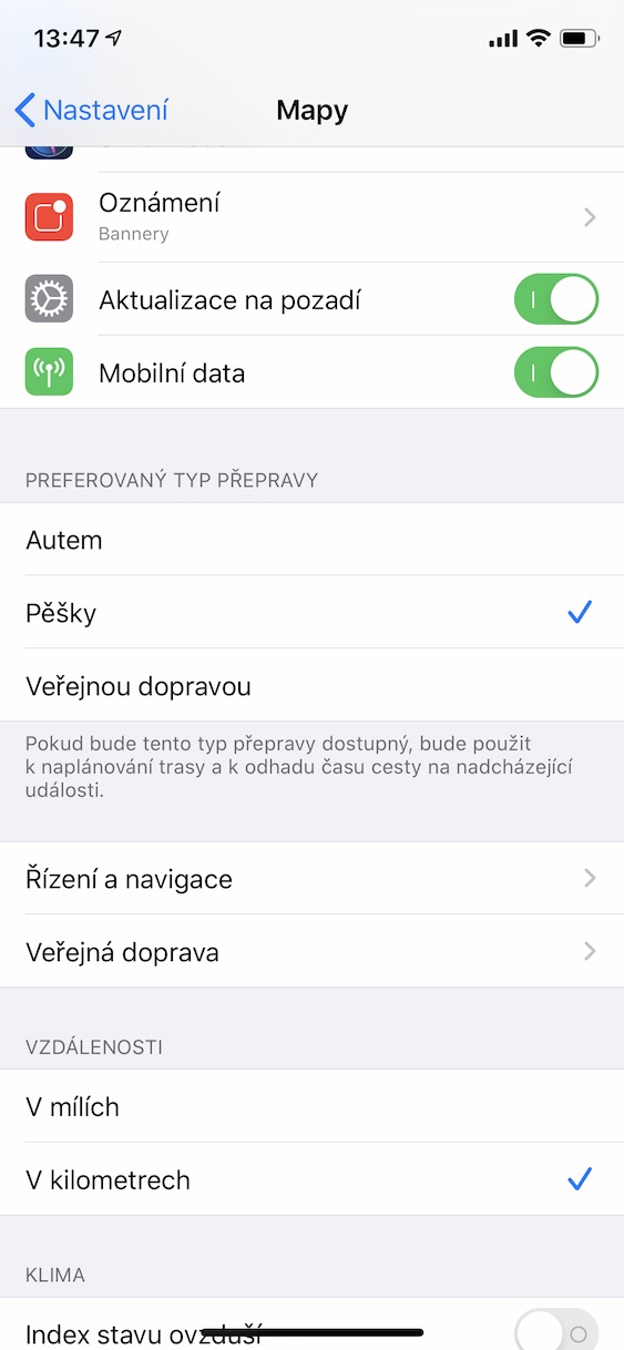
Apple Maps is very well integrated with the native Calendar, so it can estimate travel time for upcoming events. The estimation takes place on the one hand from the data on the current traffic, and then on which transport you have set as primary. You can easily change the transport data. Open the application Settings, choose Maps and scroll to the option Preferred type of transportation. Here you can choose from the options Car, Foot and Public transport, but unfortunately there are restrictions for the last mentioned type - usability in our region is only for Prague and its surroundings.
Display of interesting places during navigation
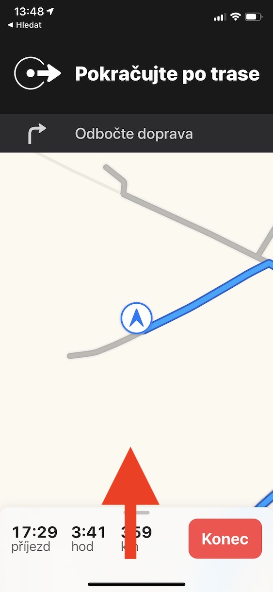
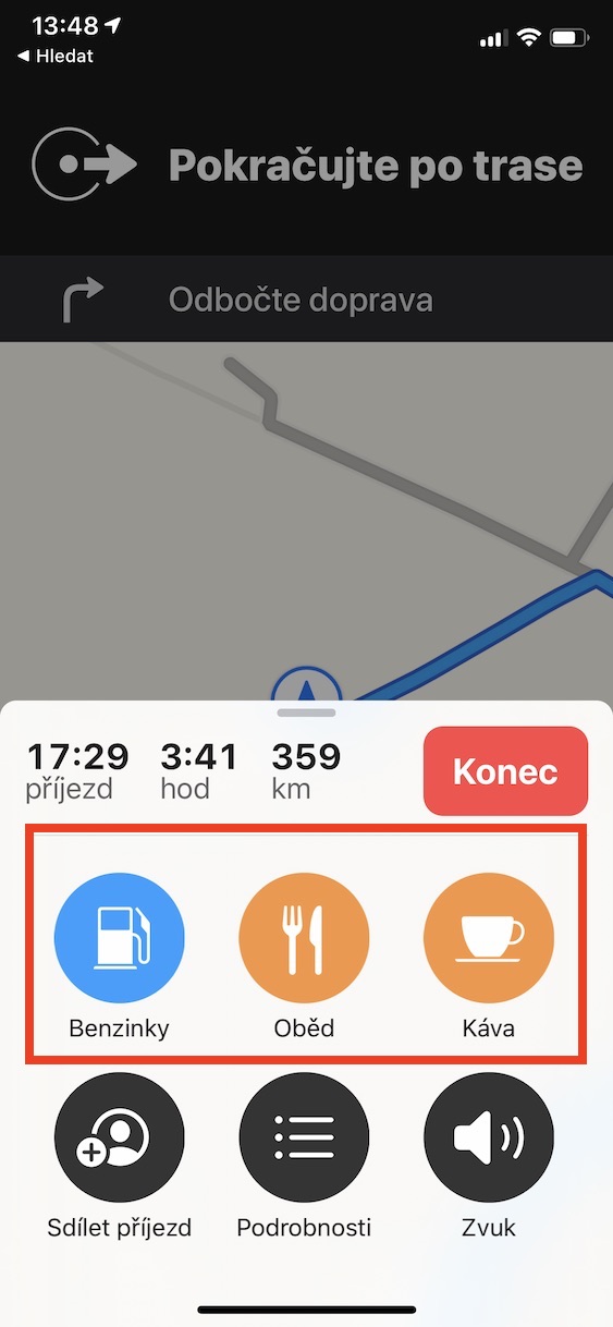
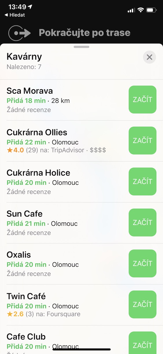
When you are in an unfamiliar environment and you are going on a long journey, you may need to go to a cafe or gas station. You can view these places very easily in Maps. With navigation running, just tap on Arrival and from the options offered, choose what you want to look for in your area. The maps will show you interesting places with ratings and tell you how many minutes your journey will take. When you've made your choice, tap Start.
View your car's location
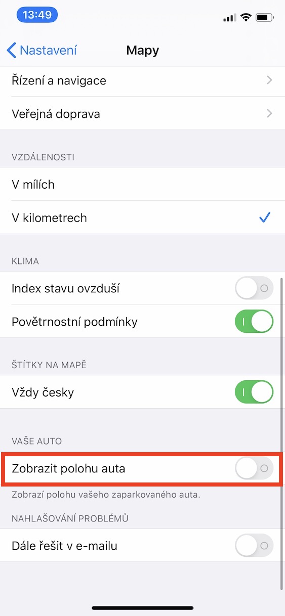
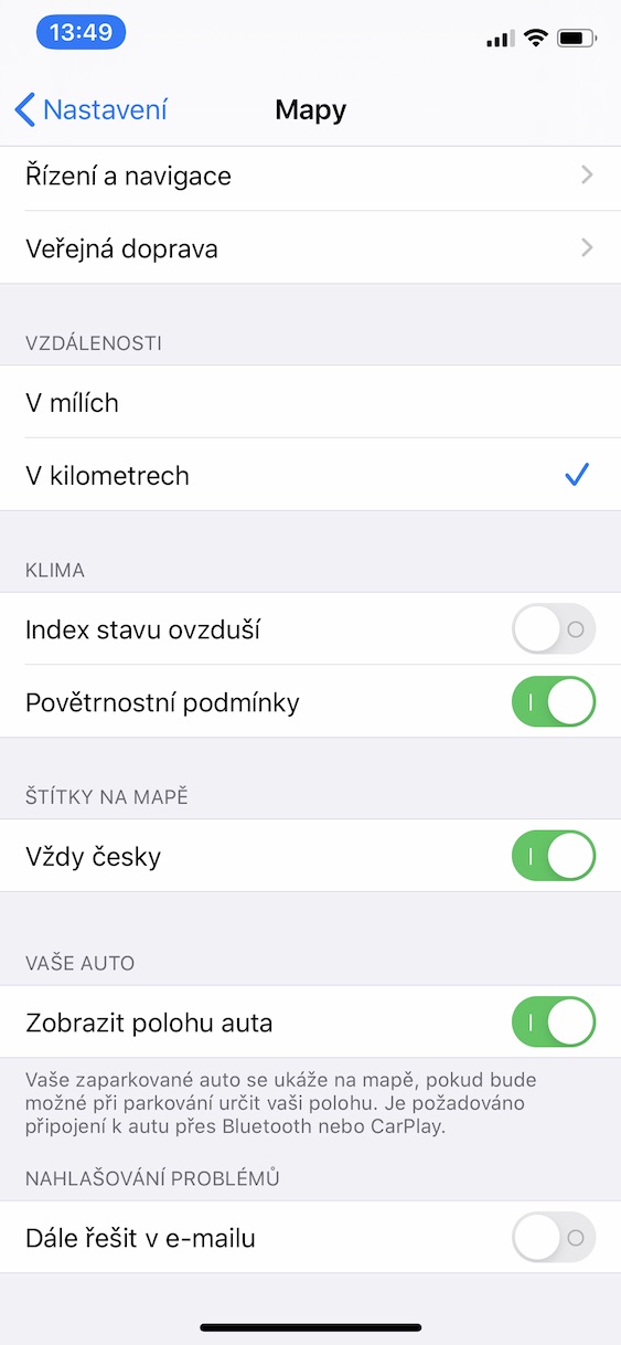
To use this feature, you must have your phone connected to your car via Bluetooth or CarPlay. If your vehicle supports one of these functions, just open it Settings, move to the section Maps a turn on switch Show car location. If you then happen to park your car somewhere and forget the exact location, you can simply let Maps navigate you to it.
