In connection with the Russian invasion, Google banned global access to traffic data from Ukraine, at least temporarily. This step is intended to protect the citizens of Ukraine, as it prevents them from finding out which routes civilians are on. But where do map applications actually get traffic density information?
With the spread of modern technologies, the collection of intelligence information is not limited to specialized companies that offer these services. Even a simple programmer working from his basement can gather a lot of information just by filtering the data available in the public domain. This is not a hypothetical scenario, but a reality that has now really happened.
It could be interest you

Russian column of troops
Jeffery Lewis, a professor at the Middlebury Institute of International Studies in Monterey, California, and his team were tracking data from Google Maps in Russia last week when they noticed a traffic jam early Thursday morning. This was quite unusual due to the early hours of the morning. According to the magazine LifeWire namely, historical traffic data is used to predict travel times during navigation in 98% of cases. The remaining two percentages are possible exceptions and closures.
So Lewis' team saw the traffic jam moving south, confirming that troops were moving toward Ukraine. The data for the Google Maps application comes from anonymized location data of both Android and iOS mobile phone users. It wasn't about Russian troops invading the area with smartphones in their pockets, but about the anonymous reporting of those smart device users who were restricted by the military convoy.
Closing access to Ukrainian traffic information was certainly the right step, because it is precisely with the help of the display of columns that not only the direction of movement of a large number of people, but also where they are currently located, can be predicted. Interestingly, Google has turned off data all over the world except Ukraine. So everyone using turn-by-turn navigation data in the country will continue to be able to view live traffic information and choose routes.
It could be interest you

Data acquisition
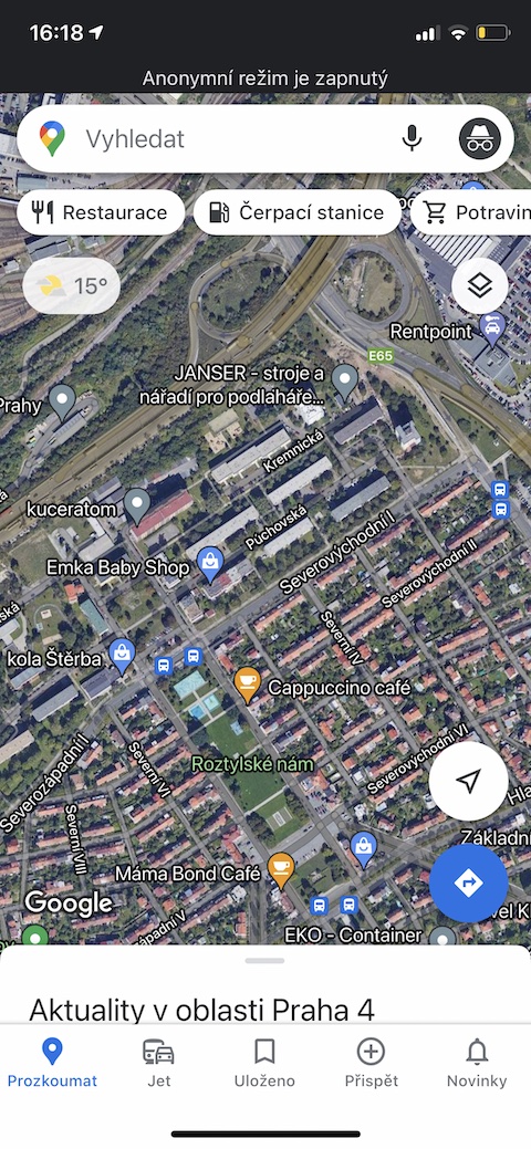
Google Maps has one of the most sophisticated map databases with more than 1 billion kilometers in more than 220 countries and territories around the world. One of the most useful functions is of course that it can navigate you depending on the current traffic. As already said, other users take care of the database by how they move along the given roads.
Although this information helps to determine the current estimate of the traffic situation, i.e. whether a traffic jam will affect your journey right now, it no longer takes into account what the traffic will look like 10, 20 or 50 minutes after your planning. To predict even this, Google Maps analyzes historical road traffic patterns over time. The software then combines this database of historical traffic patterns with current traffic conditions and uses machine learning to create predictions based on both sets of data.
But according to the magazine Mint.com covid-19 kind of threw a pitchfork into it. Since the beginning of the pandemic, traffic habits around the world have changed significantly. Google itself claims to have seen up to a 2020% drop in global traffic after the blackouts began in early 50. Since then, of course, some parts have gradually reopened, while in others some restrictions remain. To account for this change, Google Maps has also updated its models to automatically prioritize historical traffic patterns from the past two to four weeks, overriding patterns from any time before that.
It could be interest you

Other sources of information
Of course, these are cameras usually managed by the city, to which the public can also have access, or the own sensors of traffic monitoring companies. Ultimately, the connected on-board systems of individual cars can also send information. E.g. Apple bought the map data from TomTom, and it is the company that has been dealing with this for quite a few years. However, it is usually a combination of all available tracking solutions. The only exception is Waze, which relies on its large community and the reporting of abnormalities from individual drivers.
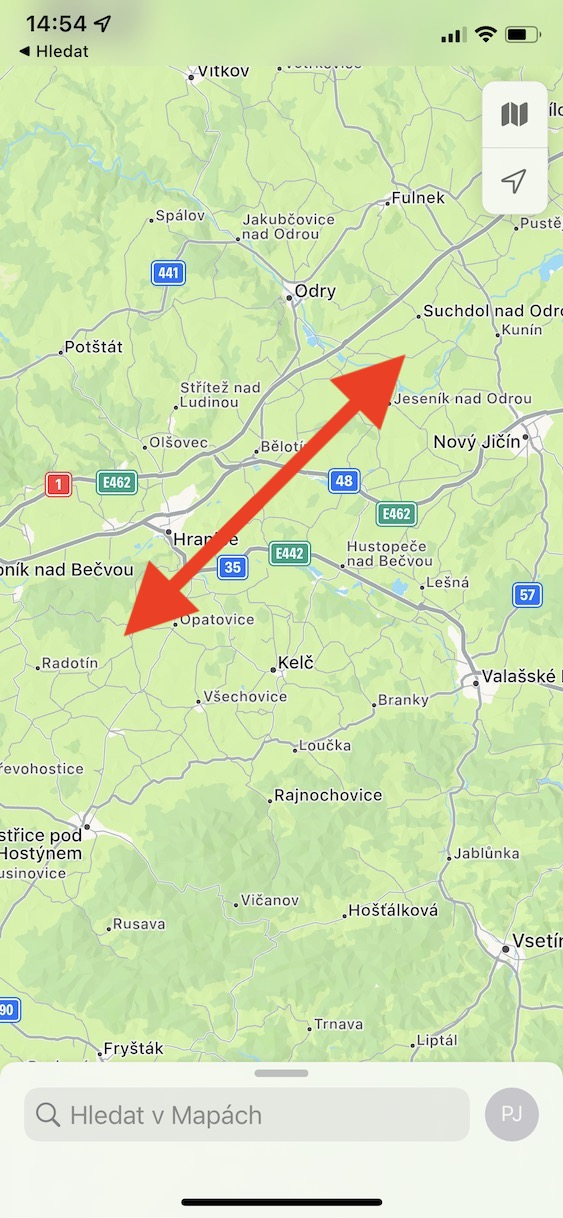
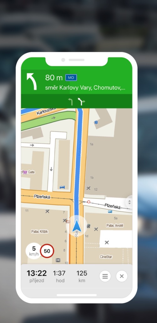
Even in 2015, Apple in its contractual conditions stated that it obtains data from TomTom, Waze and dozens of other companies monitoring global traffic. And as for the domestic Mapy.cz, they have data on the traffic situation from the Directorate of Roads and Highways of the Czech Republic in combination with data from external leasing fleets.
 Adam Kos