Google Maps is clearly one of the most popular navigation services today. It was therefore surprising that they did not display speed limits. Especially when the Waze navigation, which also falls under Google, has had the mentioned function for several years. However, over the weekend, speed limits and an overview of speed cameras on the roads finally made their way to Google Maps. For now, however, the feature is only available in selected areas.
It could be interest you
The truth is that this is not a complete novelty for certain users. Google has been testing the feature for several years, but it was only available in the San Francisco Bay Area and the Brazilian capital, Rio de Janeiro. But after much testing, speed limits and speed cameras have also begun to appear on roads in other cities such as New York and Los Angeles, and will spread throughout the United States, Denmark and Great Britain. Only speed cameras should then start showing up soon in Australia, Brazil, Canada, India, Indonesia, Mexico and Russia.
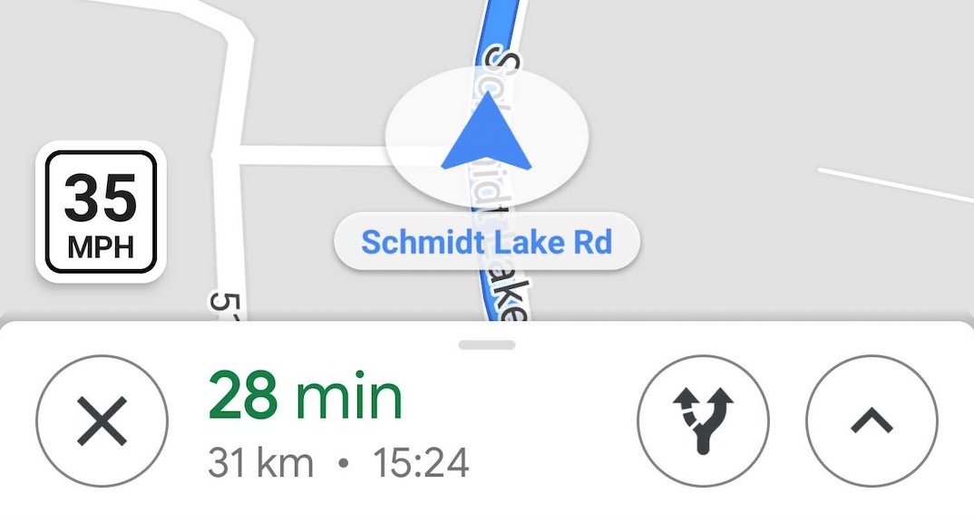
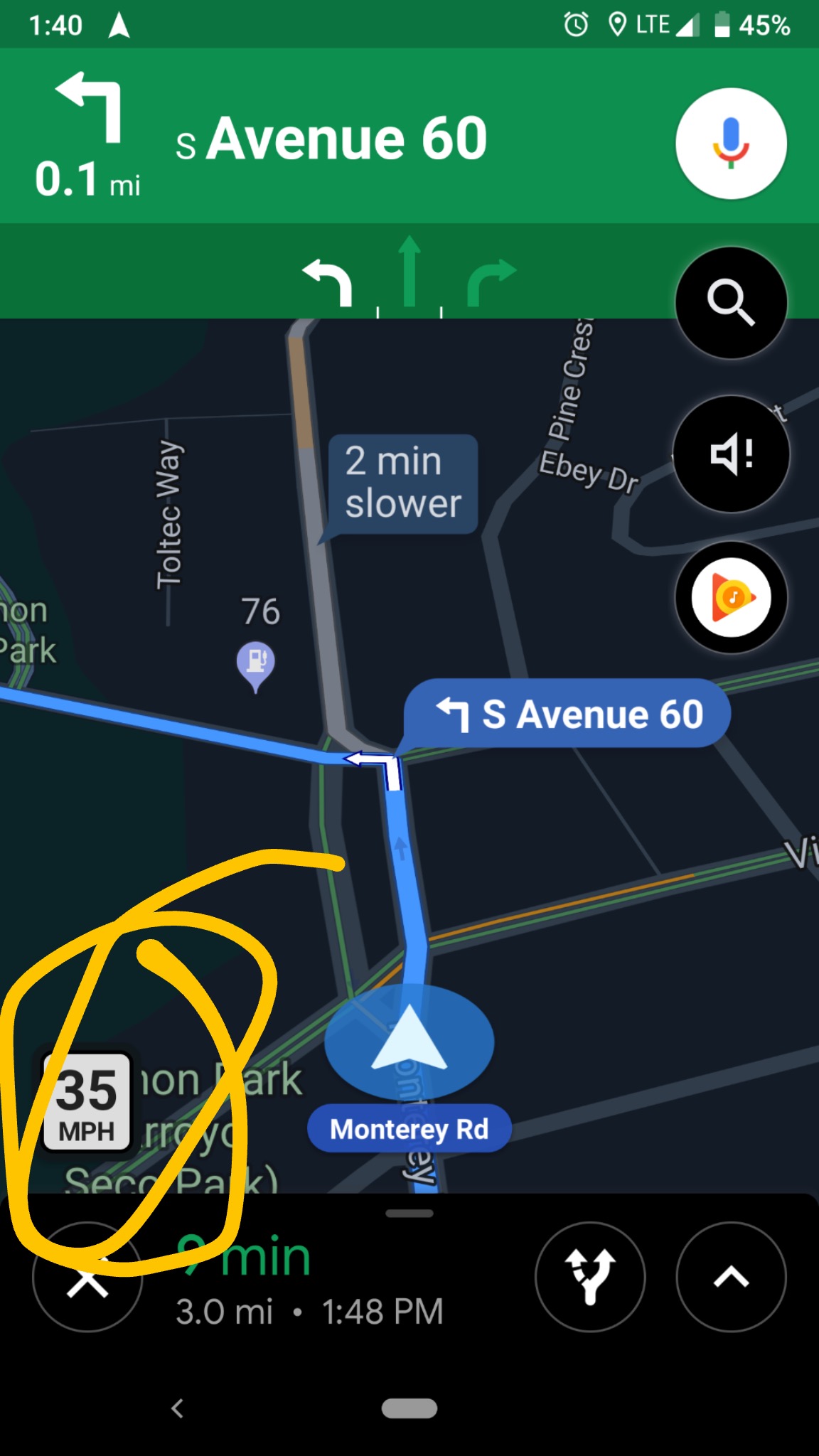
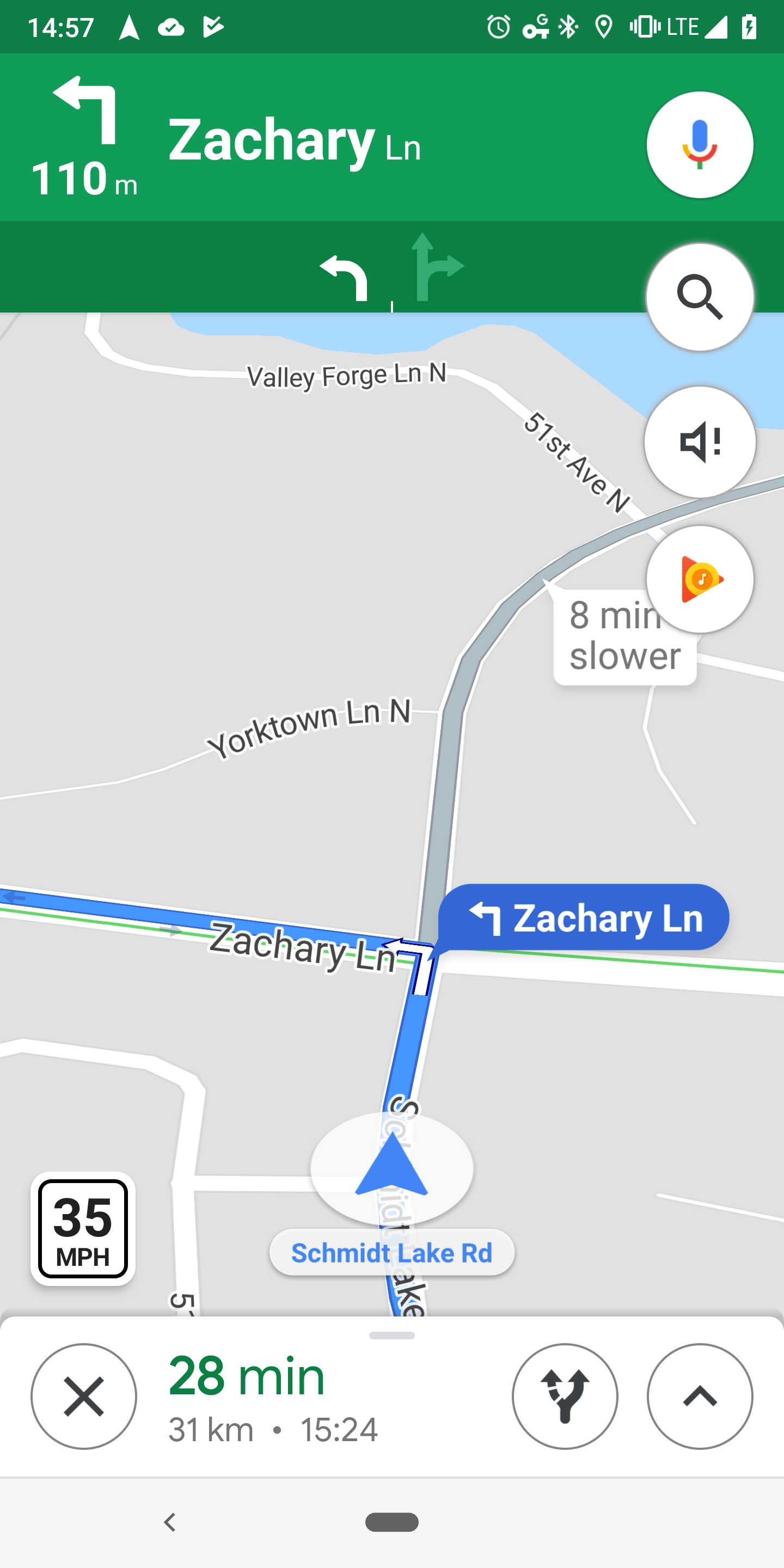
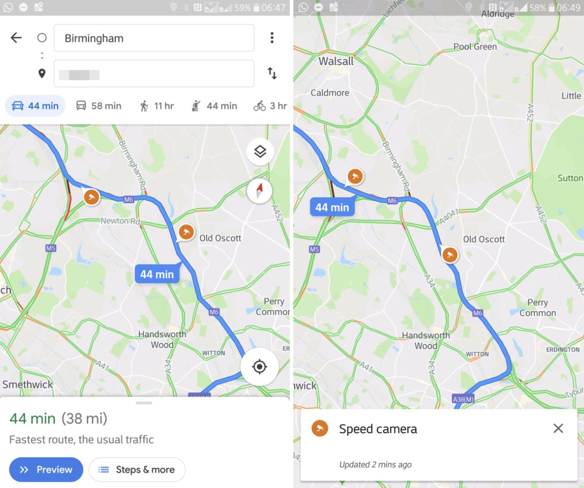
The speed limit indicator is displayed in the lower left corner of the application, and only when navigation to a certain location is turned on. Apparently, Google Maps also allows for exceptional situations when the speed on the road is temporarily limited, for example due to repairs. The radars are then displayed directly on the map in the form of simple icons. According to the server Android Police but maps from Google are also capable of alerting you to approaching speed cameras via an audio warning. The system is therefore similar to other navigation applications, including the aforementioned Waze.
