Ever since its release, Apple has been working hard to make their own maps really worthwhile. Perhaps everyone remembers the first weeks after the launch, when the maps were basically unusable. However, that time is long gone, and the company is constantly working to improve its maps, add new features to them, and generally improve how they work. Another such novelty is starting to make its way to Apple Maps in the course of the last few days. These are detailed descriptions of major airports. So far, it is only an airport in the USA, but it can be expected that this innovation will spread beyond the borders of the United States.
It could be interest you

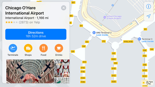
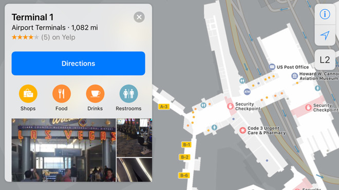
Detailed labels, including the locations of individual gates, check-in areas, etc., were obtained, for example, by O'Hare International Airport or Midway International in Chicago. Detailed maps can also be found at Miami International Airport, Oakland International Airport, Las Vegas's McCarran International Airport or Minneapolis Saint Paul International Airport. For a detailed view of the airport terminals, just zoom in on the map sufficiently. If this view is available, it will be shown automatically. Some specific buildings can also be viewed from the inside.
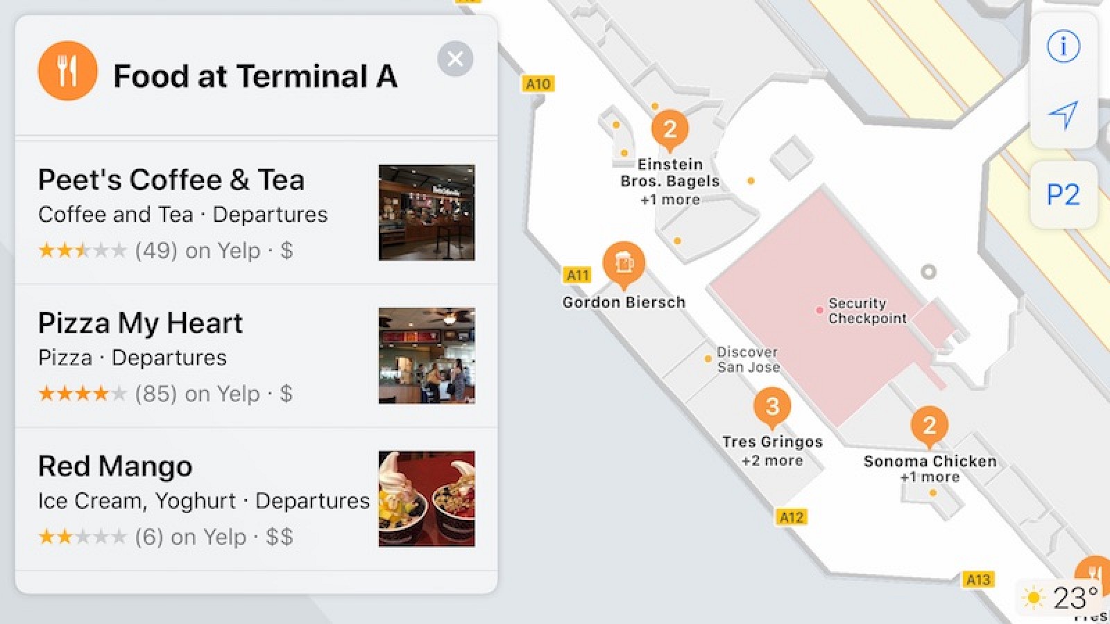
Thanks to this innovation, users will have no problems finding check-in halls, boarding gates, various shops or cafes. Individual buildings can be browsed floor by floor, so it shouldn't be a problem to find exactly what you're looking for. Work is currently underway to implement these documents for the world's largest airports, such as London's Heathrow, New York's JFK airport and Frankfurt airport. In the same way, the documents of the world's largest department stores should appear in the maps.
Source: Appleinsider


