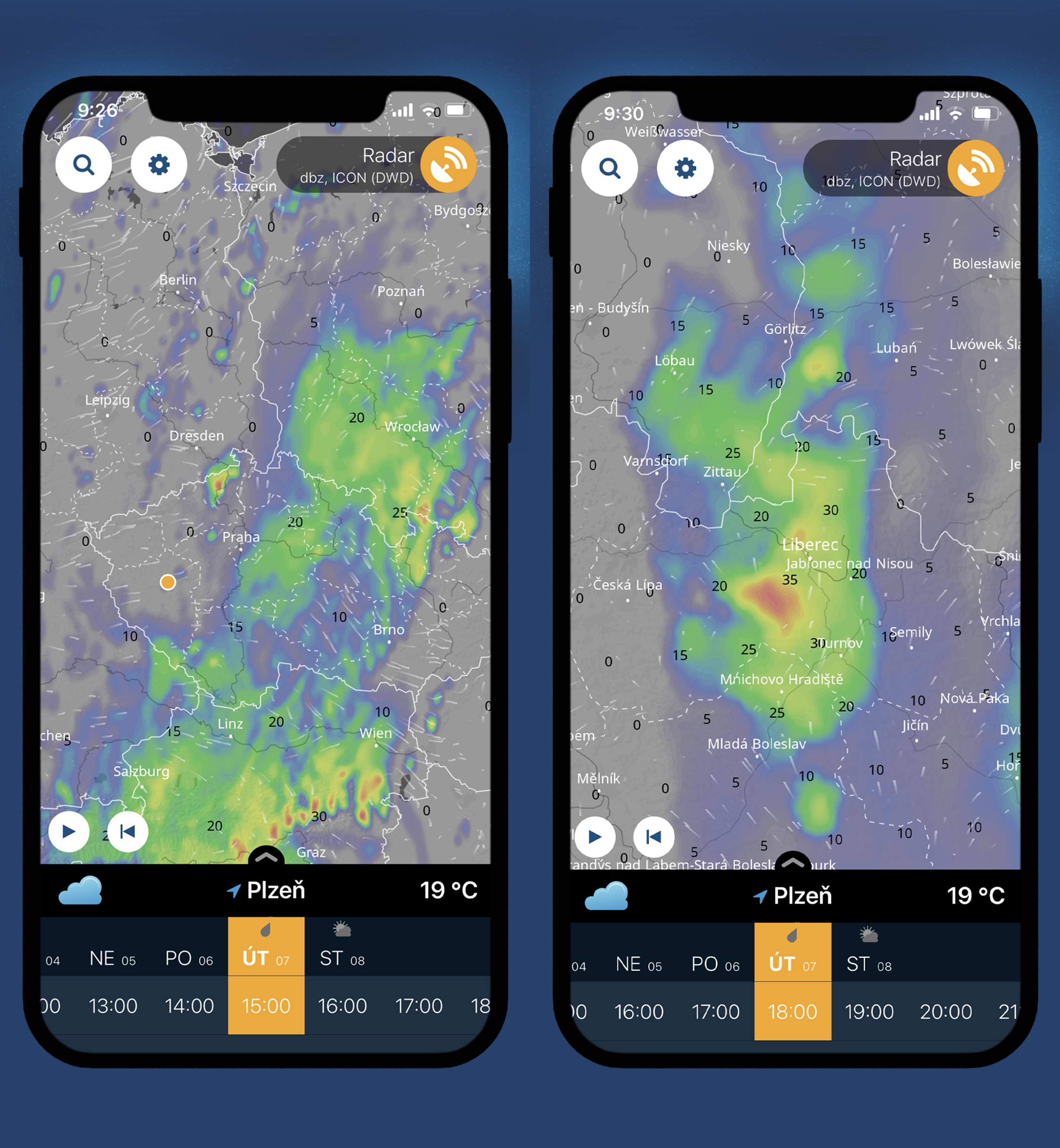
The Czech application Ventusky for the visualization of meteorological data further expands the amount of information offered. The latest innovation is the extended forecast of radar images. Ventusky will now forecast them several hours in advance. The forecast is based on several high-resolution numerical models and is updated hourly. The 120-minute forecast is made by a neural network and updated even every 10 minutes. The current state, from which both the neural network and numerical models are based, is sensed directly by ground radars and thus corresponds to the real state. By combining different approaches and data, the prediction of radar images achieves high accuracy. It is thus possible to follow the exact progress of showers or storms on the maps and to find out when the rain will arrive in the given area. In addition, the radar forecast is available for the entire world (covers Europe and North America in high definition).
Ventusky has not been the only new product in recent months. In April, a well-known numerical model was added ECMWF extension or a regional model for France AROME. Also new are the maps showing the moon precipitation deviations, which can help in drought detection. The transition to new, more powerful servers during April also helped to significantly expand services and data loading speed. Year-on-year attendance at Ventusky has doubled. Visitors especially appreciate the high accuracy of the data and its quantity.
You can download Ventusky directly here.
