If you want to open a map in today's modern times, or if you want to be navigated somewhere, a smart mobile phone, for example an iPhone, will serve you well. Long gone are the days when we carried paper maps in our cars, and when we used all kinds of navigation systems for navigation, for which it was necessary to buy new versions of maps for an additional fee. You can use countless different navigation and map applications on the iPhone - among the most famous are Waze, Google Maps or Mapy.cz for the Czech Republic. In addition, Apple also has its own navigation application, and it must be mentioned that until recently the native Maps were rather terrible. Recently, however, the Californian giant has been paying more and more attention to them and has come up with many functions with which competing applications not only catch up, but even overtake them in some cases. We also got new options in iOS 15, and in this article we will look at 5 tips and tricks from the Maps app for iPhone.
It could be interest you

Easy to change preferences
In the past, if you wanted to make some changes to preferences within the native Maps application, it was not such a straightforward process. Instead of being able to make these changes directly in the Maps app, you had to go to Settings → Maps, where you found all the preferences. But the good news is that in iOS 15, Apple has finally wised up and you can make all the changes right in the app, which is definitely handy. The procedure is extremely simple - just tap on in the lower control panel at the top right your profile icon. Then click on in the menu Preferences and make the required changes. In particular, there are options for modifying the route and for individual types of transport. Thanks to the user profile, you can now display your favorite items and more.
Improved public transport
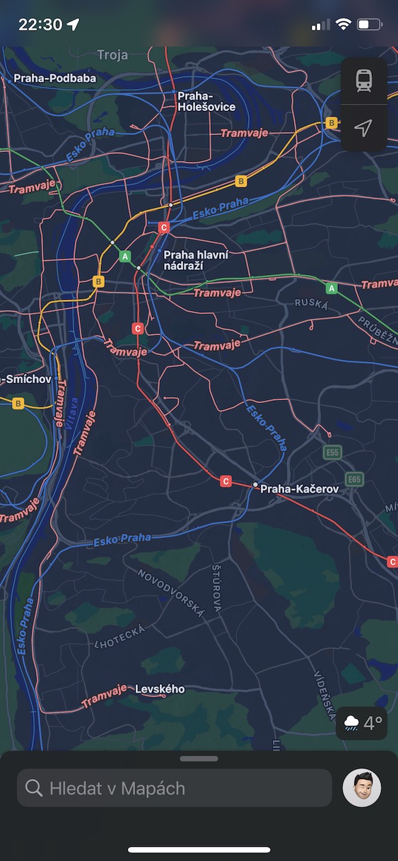
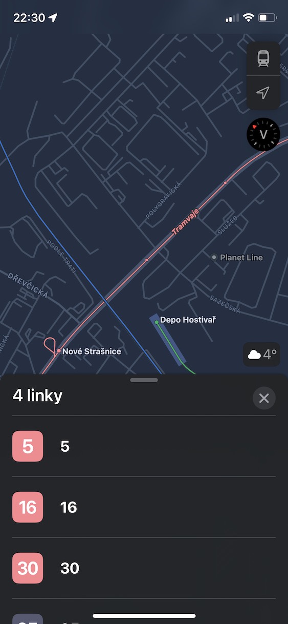
Part of the native Maps application has been the option to display information and maps of public transport for a long time - of course, but for now only in Prague. As part of iOS 15, we unfortunately did not see the expansion of public transport options in the Maps application to other large cities, but instead Apple has at least improved the existing functions for Prague. You can now have the departure times of all connections in your area displayed, and you can also pin individual connections, thanks to which you get easy access to them. This can be especially useful if you are in a hurry and don't have time to search for your connection. Outside of Prague, practically only information about train connections is available, but it is not extensive by any stretch of the imagination. So it will continue to be better to use some other application for public transport outside of Prague. However, if in the future Apple manages to expand the public transport options in Maps to other cities, for example to Brno, Ostrava, etc., then it will definitely be great and the number of users of this application will increase.
Interactive globe
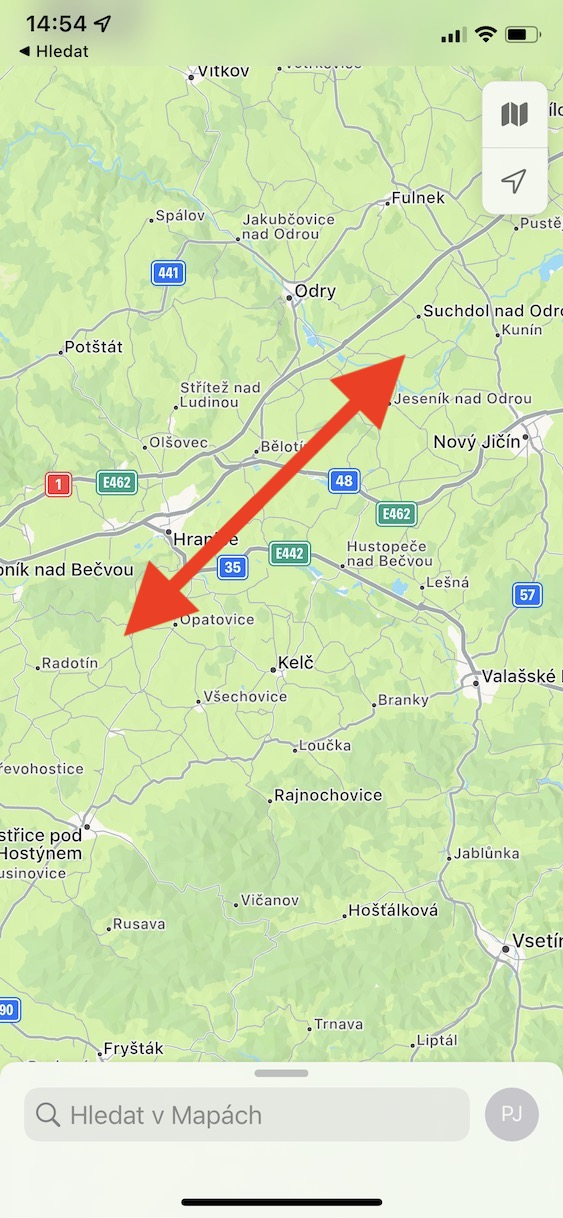
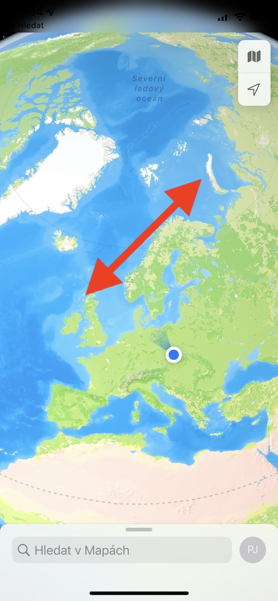
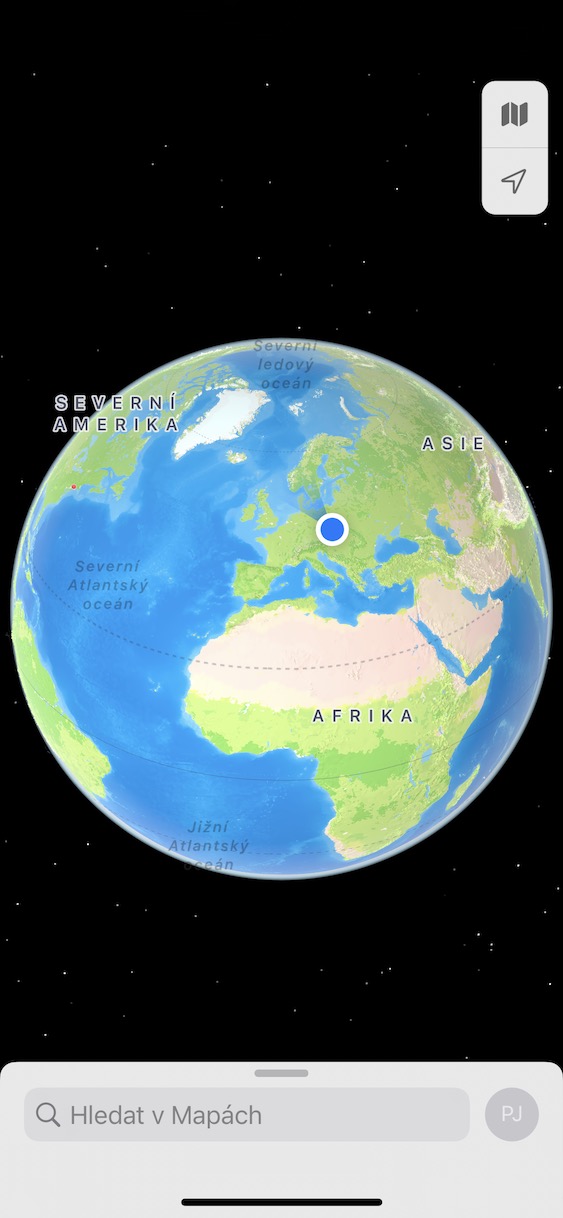
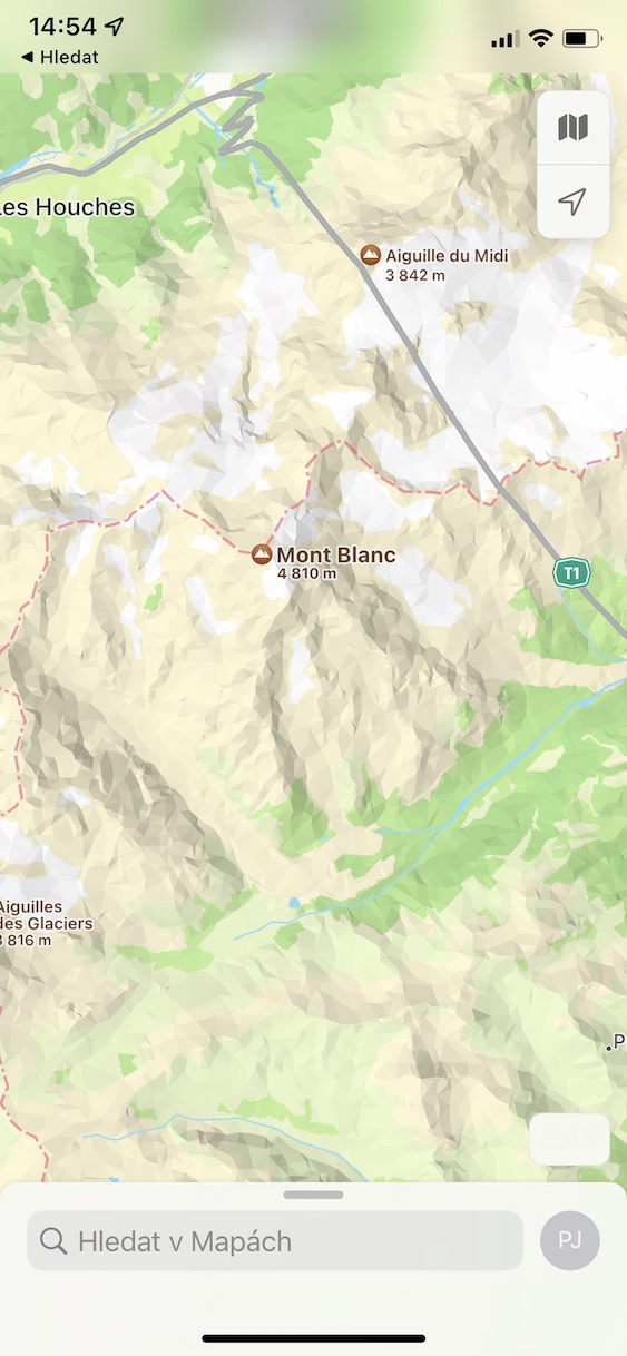
Surely you have ever found yourself in a situation where you were simply bored and decided to completely go through some applications on your iPhone. If the native Maps became this application, you probably tried to zoom out the map as much as possible. You could then view a complete map of the entire world. However, with the arrival of iOS 15, there has been a change and this map will not be displayed in the native Maps app after the map is fully zoomed out. Instead, an even better interactive globe will appear. With its help, you can see the whole world in the palm of your hand and possibly move anywhere. If you also click on a well-known place, for example a mountain, a city, etc., the relevant information will be displayed. In addition to confiscation, you can learn interesting information, or you can use the interactive globe for educational purposes. It is therefore sufficient to display it in Maps completely slow down.
Editors' Picks and Guides
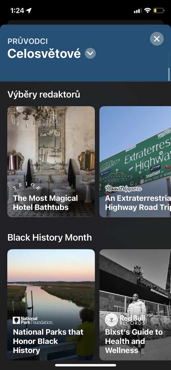
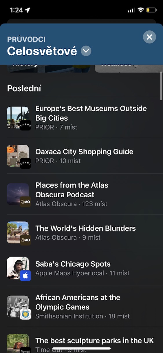
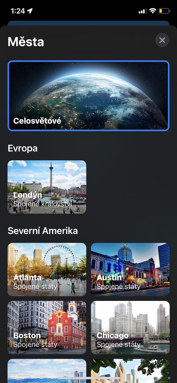
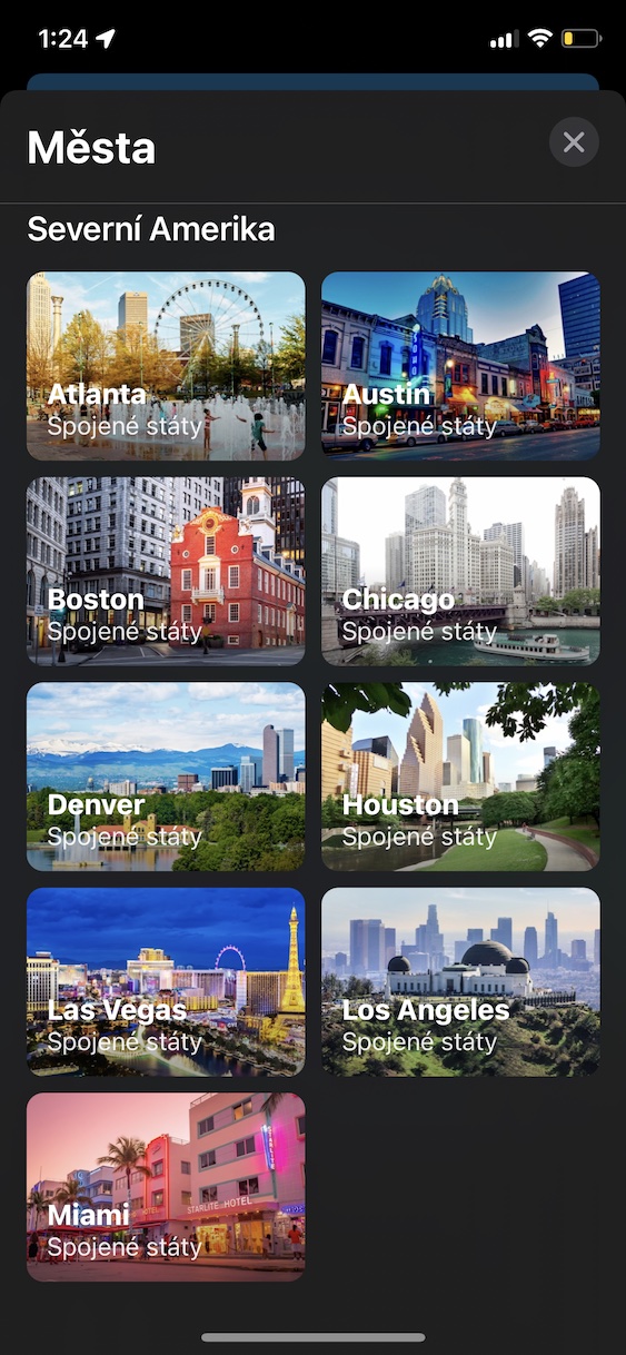
Do you want to travel somewhere but don't know where? Or would you like to learn more about some places in the world? If you answered at least one of these questions correctly, then native Maps can help you. So-called editors' picks and guides became a part of them in iOS 15. They include various articles in which you can learn more about some places, or you can plan your next trip thanks to guides and tips. All articles are, of course, in English, which must be taken into account. But I honestly think that for travelers, editors' picks and guides are absolutely perfect and can definitely come in handy. You can view them simply by opening them in Maps main bottom panel, and then you move a piece in it below. You can already find the category here Editors' Choice with selected articles, or you can tap on Browse the guide and find the one that interests you.
Information about places within cards
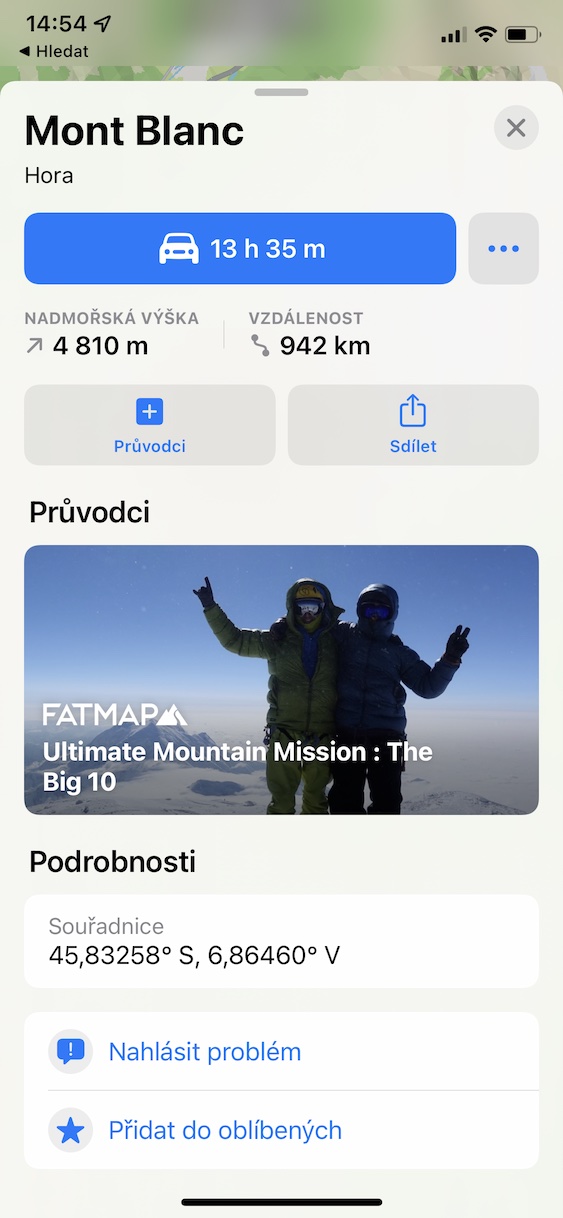
Have you decided to travel to a city or a place, and would you like to know more about it before starting the navigation? Thanks to place cards you can. These cards are available for many cities and important places and you can learn various information through them. However, it is necessary to mention that, mainly in the Czech Republic, these cards are only available in the largest cities - so you will not see information about some small villages. But if you search for Prague, for example, you will see information about the number of inhabitants, altitude, area and distance. You can also see various data from Wikipedia, for example regarding monuments, culture, art, etc. If a guide is available for a specific city, it will also be displayed in the places tab. If you want to see a proper card full of information, try searching for New York, for example.


