For many, Google Maps is the equivalent of quality navigation, so it's no wonder that Google is constantly trying to improve its application. It has recently added several interesting features, one of which is radar alerts while driving, which can also be used on Czech roads. Now Google Maps is getting another interesting new feature, which is mainly used to find out more accurate conditions in a given area.
It could be interest you

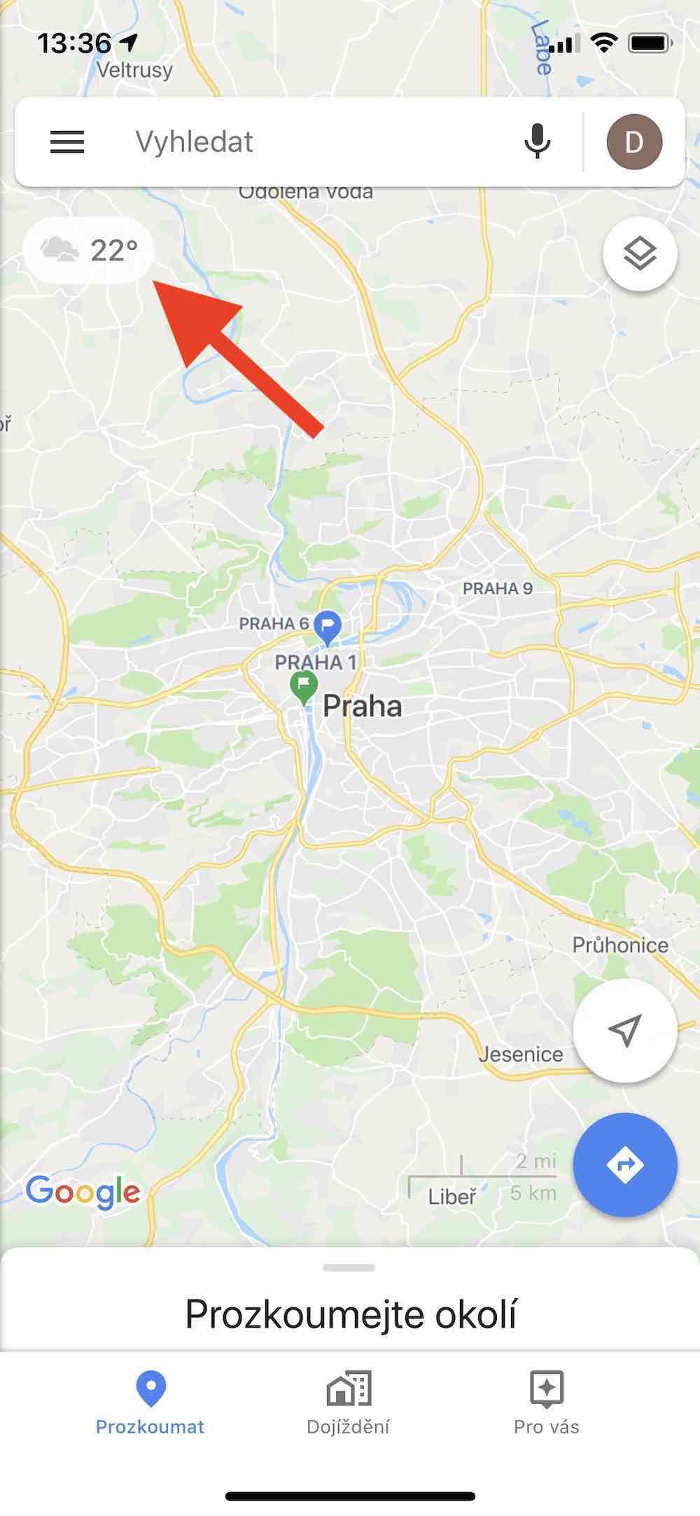
Specifically, we are talking about a function that displays the current weather in the selected location. The indicator with information about cloud cover and temperature will now appear in the upper left after starting the application. The data then changes depending on which city or region is currently displayed on the map – if you move from Brno to Prague on the maps, for example, the weather indicator is also updated. Although it is a relatively minor function, it can sometimes come in handy, for example, to find out the current weather at the destination.
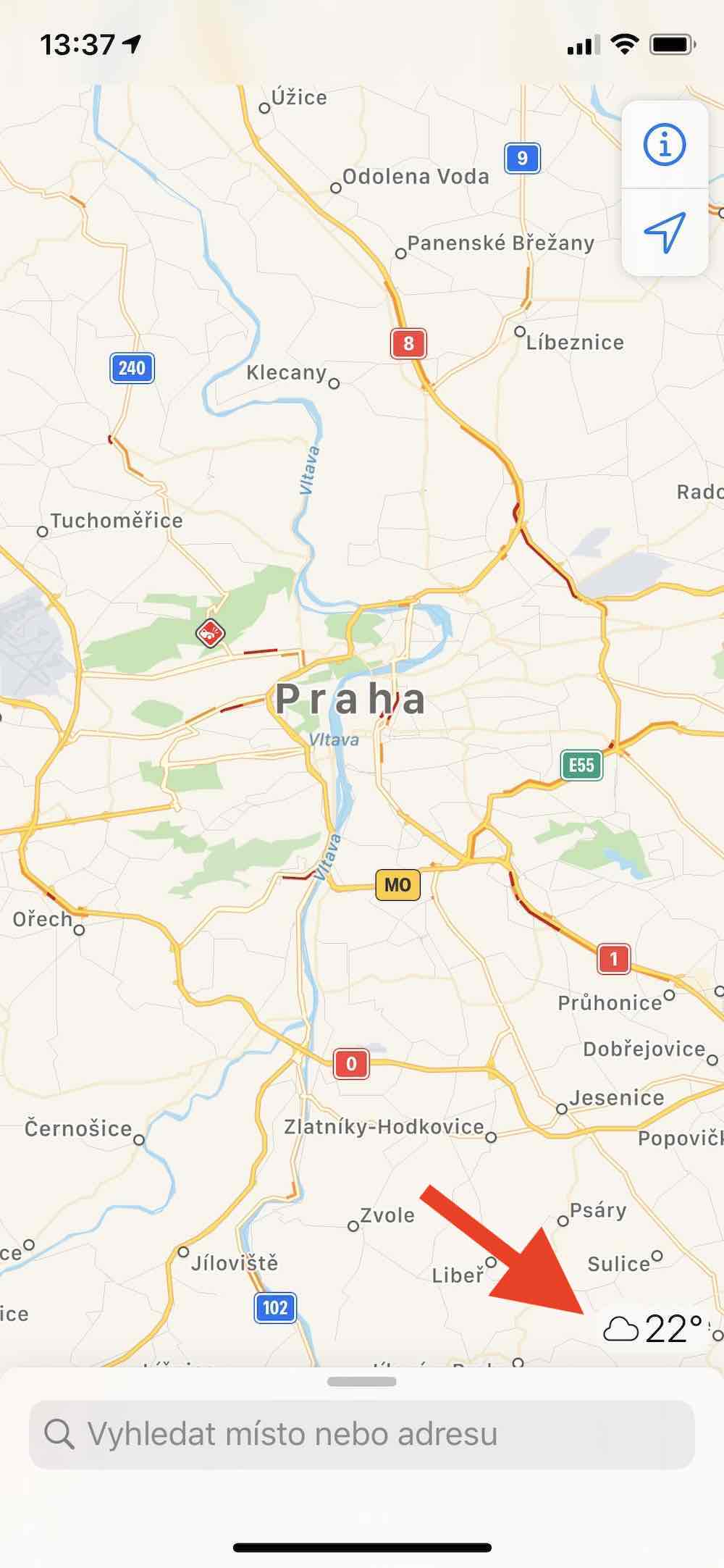
Apple Maps has been offering the same function for more than two years, and in a slightly more sophisticated form. The icon in the maps from Apple is interactive, and after clicking on it, more detailed information and a forecast for five hours will be displayed. In selected areas, there is also an indicator under the icon informing about air quality.
Pointer in Google and Apple Maps:
Anyway, Google has only added the new pointer to its maps for iOS so far, and users of Android phones will have to wait for the news. It is surprising that the company preferred a competing platform over its own, but on the other hand, in the vast majority of cases, it implements other innovations first into maps for Android.

Source: Reddit


And how about mentioning the fact that the holy Apple itself recommends Google Maps for navigation??? Is it more important to get to your destination, or to know what the weather will be like in five hours in Kyiv when you are headed to Kyiv?
Haha and Apple itself uses maps from google, don't be ashamed of the title ;)
But the title is perfectly fine. It's just that the vein on the forehead of the Apple haters ran out again. The article doesn't even mention that Apple maps is better or anything. It's just that Google maps added a feature that Apple maps has had for 2 years. The article does not deny that Google maps are better and that Google has an edge in this regard.
WAZE only.
I use it too. But unlike Apple maps, it doesn't need to drive in lanes. Apple maps doesn't have speed control. This is crucial for me.